Images of ‘before’ and ‘after’ show scale of La Palma volcano destruction
Shots of the same area taken in 2020 and on Thursday of last week evidence how the lava flow is slowly swallowing up land and property on the Spanish island

The lava flow from the Cabeza de Vaca volcano continued to steamroller buildings on Monday as it made its way down the mountainside on the Spanish island of La Palma.
In the eight days since the volcanic eruption began, a wall of molten rock rising as high as 12 meters in some spots has covered 200 hectares of land and destroyed over 500 structures.
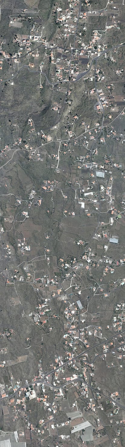
The above images, taken in 2020 and on Thursday of last week, and shared by island authorities in La Palma, provide a graphic illustration of how the volcanic eruption is affecting this area of the Canary Islands archipelago, located off the northwestern coast of Africa.
By sliding the white vertical bar to the left or the right with the computer mouse, it is possible to see the same area before and after the eruption. The “before” image was provided by the geographical information multinational Esri and taken in 2020 by a satellite. The “after” image, showing the same area affected by the lava, was taken on Thursday by a drone.
Since then, the lava flow has continued to inch forward. Volcanic activity intensified on Monday following a brief pause in the morning.